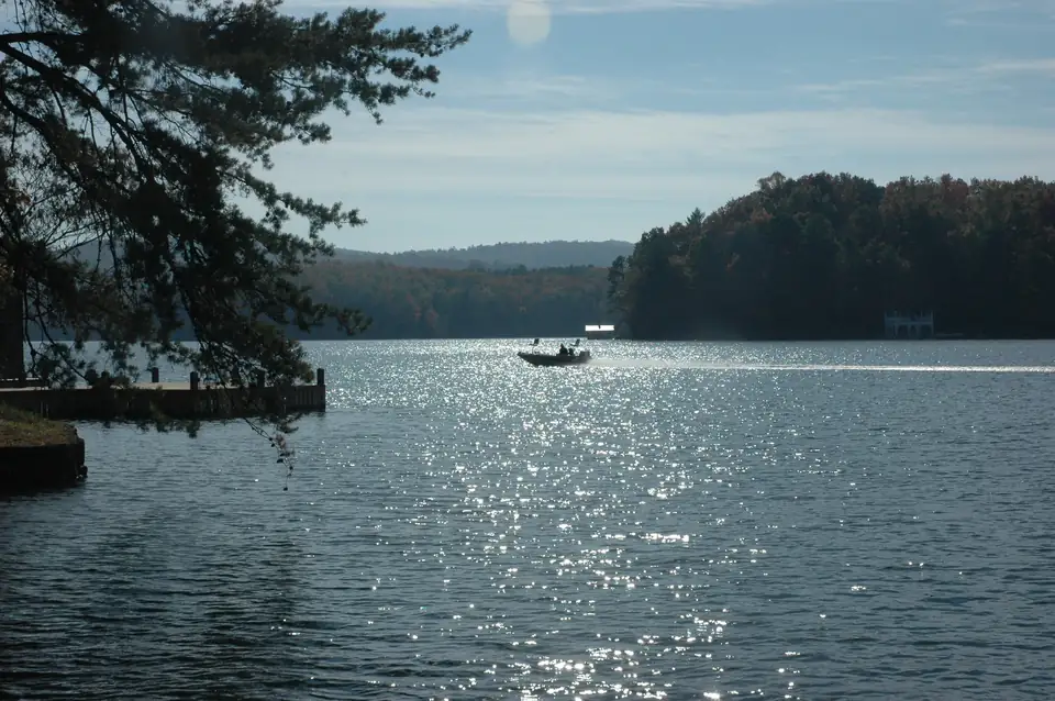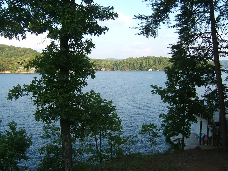
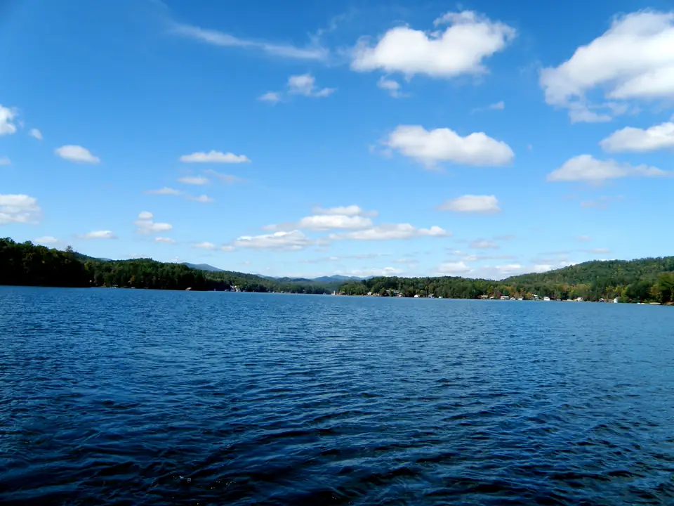
Lake Burton’s full pool is 1,866.6 feet. That is the full elevation Georgia Power lists for the lake in its daily level table, and it matches the FERC notice of Georgia Power’s 1994 application for a new license, which describes a 2,775-acre reservoir at a full pool of 1,866.6 feet. Lake Burton is in Rabun County, Georgia, at the top of Georgia Power’s Tallulah River chain, and every level reading for it makes sense only against that one number.
This explainer covers what the number means, how to read the daily table, why you will see other figures, and what is and isn’t known about the lake going lower. For the reading posted today, see our Lake Burton level page, which shows Georgia Power’s own figure.
What “full pool” means
Full pool is an elevation, a height above sea level, not a depth. When the table says 1,866.6 feet, it does not mean the lake is 1,866 feet deep. It names the surface height Georgia Power counts as full for this reservoir. A reading below it tells you how far the surface sits under full, in feet.
Nothing in that number tells you how deep the lake is. We don’t publish a depth for Lake Burton, because we could not find one from Georgia Power or any agency.
A dated example
On the morning of October 18, 2026, Georgia Power’s table showed Lake Burton at 1,864.98 feet, about 1.6 feet below full. Treat that as an example of how to read the table, not as the current level. Readings move daily, and Georgia Power’s Water Levels page warns that lake elevations and dam release schedules can change without notice.
How to read Georgia Power’s daily table
Georgia Power’s table is updated daily. For each lake it lists generation, rainfall, current elevation and full elevation. Two of those columns answer most questions:
- Find Burton’s current elevation.
- Subtract it from the full elevation, 1,866.6.
- The result is feet below full. The smaller the number, the fuller the lake.
That is all the math there is, and the table puts both numbers side by side, so you never need an outside reference. If you check often, bookmark the table or our level page rather than any page that quotes a fixed number.
Lake level today
1,864.57 ft
2.03 ft below full pool (full pool 1,866.6 ft). Reading posted Nov 20, 7:03 AM ET.
Source: Georgia Power lake levels
Why you’ll also see 1,865 feet
The Lake Burton Civic Association gives the lake’s normal water level as 1,865 feet. That is LBCA’s figure, and it is not the full elevation Georgia Power posts. The two are 1.6 feet apart, so the same reading can sound full against one and low against the other. On this site we measure against Georgia Power’s 1,866.6 and name LBCA whenever we quote its number.
Fishing reports and older web pages sometimes use their own reference numbers too. When someone says the lake is “two feet down”, ask: down from what? Convert any figure to feet below 1,866.6 before you compare one month with another.
A river gauge is not the lake
Some sites show a stream gauge on the Tallulah River as the Lake Burton level. A stream gauge reports the river’s stage at one spot on the river. It is not the reservoir’s surface elevation, and its numbers can’t be compared with full pool. For the lake itself, use Georgia Power’s table, which reports Burton’s elevation directly.
Where 1,866.6 sits in the six-lake chain
Lake Burton is the uppermost of six Georgia Power lakes. Going downstream, the Rabun County Historical Society lists Burton, Seed, Rabun, Tallulah, Tugalo and Yonah. In FERC’s terms they are the six developments of Georgia Power’s North Georgia Project, No. 2354, four on the Tallulah River and two on the Tugalo River. Georgia Power’s level table gives each lake its own full elevation.
| Lake | Development (FERC) | River | Full elevation (Georgia Power) |
|---|---|---|---|
| Burton | Burton | Tallulah | 1,866.6 ft |
| Seed | Nacoochee | Tallulah | 1,752.5 ft |
| Rabun | Mathis-Terrora | Tallulah | 1,689.6 ft |
| Tallulah | Tallulah Falls | Tallulah | 1,500 ft |
| Tugalo | Tugalo | Tugalo | 891.5 ft |
| Yonah | Yonah | Tugalo | 744.2 ft |
From Burton’s full pool down to Yonah’s is about 1,122 feet. Because each lake has its own full elevation, always check which lake a quoted number belongs to. A reading for Seed or Rabun says nothing about Burton. Our lake levels page shows the whole chain from the same Georgia Power table.
Burton’s place at the top is no accident. The Historical Society says the dam was first built to store and regulate water for the Tallulah Falls plant downstream. It was finished in December 1919, the lake was full by August 1920, and Burton’s own powerhouse followed in 1927. The full story, including the town the lake covered, is in our Lake Burton history.
Will the lake go down? What is known
Georgia Power publishes no drawdown schedule for Lake Burton on any page we found, so we don’t repeat the ones that circulate online. Here is what the primary sources do say, checked October 2026.
- The spillway-gate project needs no drawdown. Georgia Power has asked FERC to replace Burton Dam’s bottom-hinged spillway gates with an Obermeyer gate system and build a control building. Per the 2025 FERC notice, the work is done behind a bulkhead, so Georgia Power says no drawdown is required. The project was expected to begin in 2026 and take 18 to 24 months. Georgia Power says the new gates will keep the dam working during high flows and give operators better control of the reservoir level.
- Last winter stayed at normal. LBCA reported that the lake would stay at its normal level, 1,865 feet by its count, through the winter of 2025-26 while modernization work was done on the dam’s generating facility. That note covers that winter only.
- Levels can change without notice. Georgia Power says so on its Water Levels page, and it warns that areas below its dams are hazardous because of turbulent water.
If a lower lake would affect your plans, such as dock work, call Georgia Power’s North Georgia Lakes Resources Office at 706-746-1450 and ask directly.
Georgia Power has asked FERC to replace Burton Dam's bottom-hinged spillway gates with an Obermeyer gate system and build a control building. The work is done behind a bulkhead, so Georgia Power says no drawdown is required. It was expected to begin in 2026 and take 18 to 24 months. (Federal Register (FERC, 2025), checked Oct 18, 2026)
What the number means on the water
For boaters
A lower reading means less water everywhere at once, including at the end of a ramp and in the shallow backs of coves. Check the posted level against 1,866.6 before you trailer up, and launch with care when the gap is wide. Our boating guide lists every public ramp and the rules your boat must meet.
For owners and buyers
Georgia Power’s North Georgia Shoreline Guidelines measure boathouse height from the lake’s normal operating level: the peak of the roof can be no more than 32 feet above it, and the platform should sit at least 24 inches above it. Ask the lake office which elevation your drawings should use before you design anything. Lot types, permits and the rest of the owner’s checklist are in our owning a Lake Burton home guide.
Questions about Lake Burton’s full pool
What is full pool on Lake Burton?
Full pool on Lake Burton is 1,866.6 feet. That is the full elevation in Georgia Power's daily lake-level table, and it matches the full pool in the 1994 FERC notice of Georgia Power's license application.
Source: Georgia Power, checked Oct 18, 2026
Where can I check Lake Burton's water level today?
Georgia Power's lake-level table at lakes.southernco.com is updated daily and lists each lake's current and full elevation. Subtract Burton's current reading from 1,866.6 to see how many feet the lake sits below full.
Source: Georgia Power, checked Oct 18, 2026
Why does the Lake Burton Civic Association say 1,865 feet?
The Lake Burton Civic Association gives 1,865 feet as the lake's normal water level. That is LBCA's own figure, 1.6 feet below the 1,866.6-foot full elevation Georgia Power posts, so say which number you are measuring from.
Source: LBCA, checked Oct 18, 2026
Will Lake Burton be drawn down for the spillway gate project?
No drawdown is planned for it. FERC's 2025 notice says the work to replace Burton Dam's spillway gates is done behind a bulkhead, so Georgia Power says no drawdown is required. The work was expected to start in 2026 and take 18 to 24 months.
Source: FERC, checked Oct 18, 2026
Is a Tallulah River gauge reading the same as the Lake Burton level?
No. A river gauge reports the river's stage at one spot and can't be compared with full pool. Georgia Power's lake-level table reports Lake Burton's own elevation, which you read against its 1,866.6-foot full elevation.
Source: Georgia Power, checked Oct 18, 2026
Written by the Visit Lake Burton Editorial Team. AI tools help us draft; people check every fact before it publishes.